by administrator | Jan 8, 2021
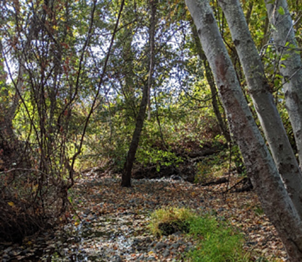
Background: Northwest Hydraulic Consultants were planning improvements and possibly deepening of the Paynes Creek Diversion Dam area. The area had already had a topography survey but they also needed information about what the area looked like below the ground....
by administrator | Jan 8, 2021
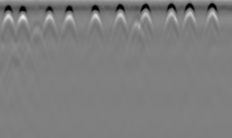
Background: Sender One was constructing a new rock-climbing gym in an existing building. To plan the placement of the climbing walls they needed to know where they could anchor into the existing slab. The existing slab contained both rebar and post tension cables. The...
by administrator | Jan 8, 2021
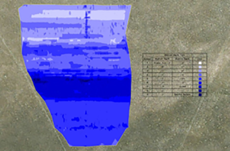
Background: DEPCOM was installing a solar field in an area with highly variable bedrock depth. They knew some array post would need to be drilled and some could be driven. However, they had no way of knowing which specific locations would require drilling. GPR Data’s...
by administrator | Sep 9, 2020
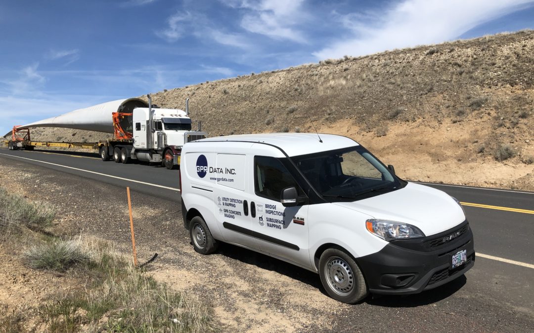
Background: NextEra Energy was updating an existing wind farm and needed to locate and map an existing fiber optic line to prepare for a crossing with new collection lines as well as adding another fiber line. GPR Data’s Solution: GPR Data was able to use real time...
by administrator | Sep 9, 2020
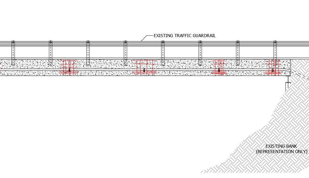
Background: ODOT was installing a new power conduit along the side of the existing bridge. Structural plans or as-builts were not available. ODOT wanted to ensure that the conduit could be anchored to the bridge without damaging existing reinforcing. GPR Data’s...


