 Background: ODOT was installing a new power conduit along the side of the existing bridge. Structural plans or as-builts were not available. ODOT wanted to ensure that the conduit could be anchored to the bridge without damaging existing reinforcing.
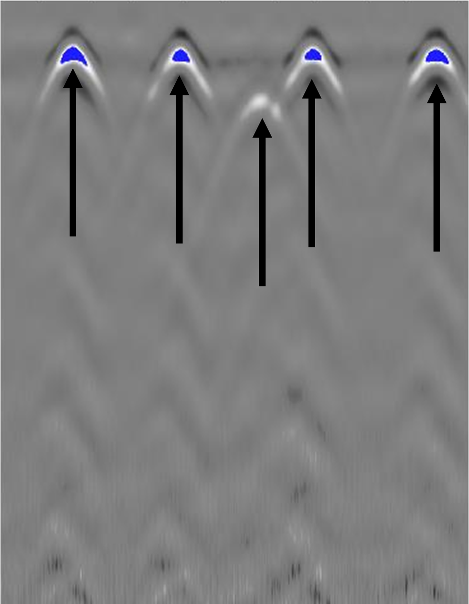
GPR Data’s Solution: GPR Data scanned along the x and y axis to capture all horizontal and vertical rebar. The rebar locations were marked in the field and ODOT was provided a CAD file to be used to plan anchor placements.