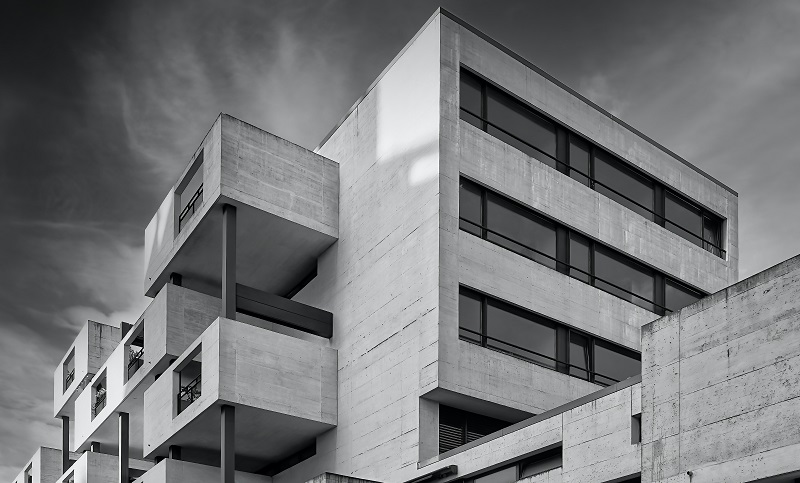
The tragic loss of lives resulting from the Surfside, Florida, condominium collapse in the summer of 2021 was nothing less than heartbreaking. The unthinkable was made worse by the determination that the condo collapse was entirely preventable. In fact, an engineer raised concerns about the safety of the building a year prior when it was discovered that the building lacked sufficient waterproofing, which was compromising the integrity of the concrete in the structure. The warnings were ignored, and nearly 100 people lost their lives unnecessarily. This tragedy demonstrates precisely why ground penetrating radar (GPR) is an indispensable tool for saving lives and saving concrete structures.
Who Uses GPR?
GPR is a high-resolution concrete imaging and scanning method that provides images of anything that may be embedded in or below a concrete structure, such as a building, road, or bridge.
Ground penetrating radar has been used for more than 50 years. It was first used to map polar ice sheets (glaciers). However, it soon became clear that the technology could also be used for large construction sites, particularly those involving concrete structures.
Both GPR x-rays and GPR imaging will provide the images necessary for safe projects and to ensure uninterrupted construction. However, GPR concrete imaging results in higher quality, resolution and depth, along with offering 3-D mapping. In addition, GPR imaging allows for construction sites to remain open, as the radiation levels emitted during imaging are much less than during x-ray.
Today, GPR is used in all stages of construction, from new builds to verification of historic buildings, to protect people and structures.
As-Built Documentation
The older the building, the less likely it is to have architectural and building records. GPR imaging can recreate this crucial documentation, bringing to life detailed drawings of buildings as they were built years ago.
Bridge & Building Rebar Inspections
GPR imaging can identify cracks, fractures, location, measurements, and post tension mapping in concrete bridges and buildings without causing any damage to the structure.
Concrete Thickness
GPR will provide a clear image of the thickness of concrete in a structure, which will illuminate any variations from the original design, indicating deterioration.
Moisture Content
GPR is used to calculate relative moisture content to provide a visual image of the condition of the concrete.
Pavement Structure Evaluations
With more than 4 million miles of roadways in the United States, having the capability to evaluate roadways for potential safety hazards is a primary use of GPR in concrete inspections. GPR imaging will identify all problems underneath roads that can lead to dangerous sinkholes.
Void Detection
Ground penetrating radar can identify any potential voids hidden from the naked eye. For example, washouts beneath building floors are accurately identified through GPR imaging.
Utility Mapping
Without damaging the structures, GPR can identify utilities, including gas, water, fiber optic cable, electric, metal, and PVC beneath concrete structures, roads, and bridges. In addition to confirming the existence of utilities beneath the surface, maps can provide the specific depth and owner of the utility.
Concrete Structures Benefit from GPR Imaging
There are four main reasons that GPR scanning is essential for buildings already built, yet to be built, or on the brink of renovation. First and foremost, GPR protects people. GPR imaging identifies problems before they become accidents.
The second reason GPR scanning is so vital is that it will save money. Whether you’re renovating a historic building, adding on to an existing structure, or about to break ground on a new development, scanning before you cut, dig, or drill will prevent unwelcome surprises that can set your project back hundreds of thousands, if not millions, of dollars.
Thirdly, GPR imagining will prevent project delays. This helps keep your project on time and on budget. Lastly, ground penetrating radar imaging or scanning will help you get the project right from day one. Construction projects of all sizes require incredible accuracy. GPS will give you a clear image of what lies within and beneath your current or future structure.
Request a Quote for GPR Imaging of Concrete Structures
For more than 20 years, the experts at GPR Data, Inc., have provided GPR to keep people and properties safe through non-destructive scanning and imaging of concrete structures. Our sub-surface investigations can reveal air voids, delamination of concrete, and the location of utilities beneath the surface. Our concrete structure imaging can identify deteriorations in concrete and rebar. To request a quote from GPR Data, Inc., contact us online or by calling 541-345-1075.

