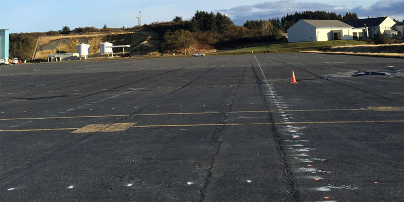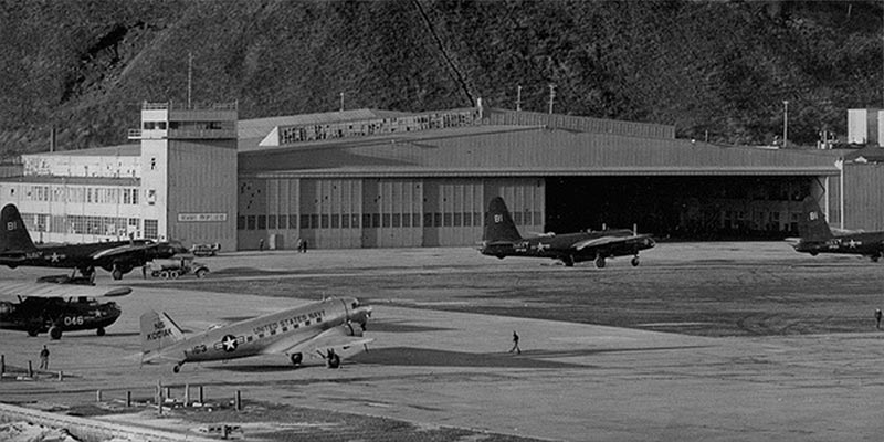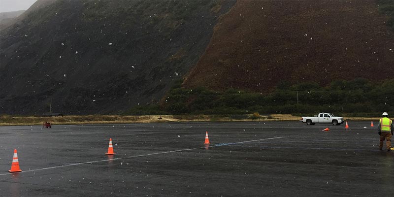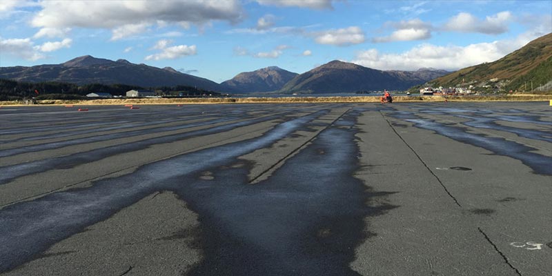
Background: Almost 80 years ago, thousands of metal tie-down anchors were installed in the concrete apron to secure planes against Alaska’s extreme weather. Wartime passed, and the tie down anchors were no longer needed. Over time the apron surface was maintained by adding more and more asphalt. Although effective for a time, this tactic is ultimately unstable, as the weight of the asphalt continues to grow and the rate of deterioration multiplies. The asphalt surface needed to be reduced, milled down, for the resurfacing cycle to continue. The long-forgotten tie-down anchors became a nearly insurmountable problem. Their exact depth and location were completely unknown and if the asphalt milling machine were to impact one of these tie-downs it would cause extensive damage to the machine.
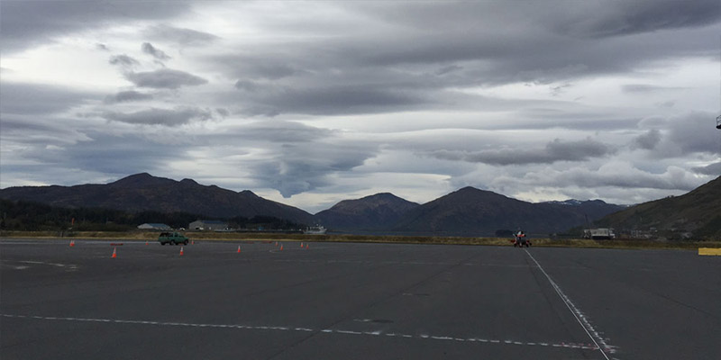
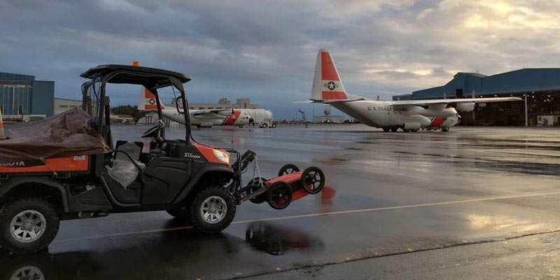
GPR Data’s Solution: GPR Data utilized a custom vehicle mounted antenna to collect tightly spaced, high resolution data over the nearly 980,000 square feet of surface. Due to limitations of commercially available GPR processing software, we had to bring in a team of radar and software engineers to develop a custom in-house solution to accommodate the massive amounts of data that needed to be processed. In the end, we were able to provide a precise map showing the location and depth of all the tie-downs.
Learn more about GPR Concrete Imaging